


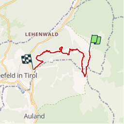


9.8 km | 18.2 km-effort

User


FREE GPS app for hiking
 SityTrail
IGN / Geographical institutes
SityTrail World
The world is yours!
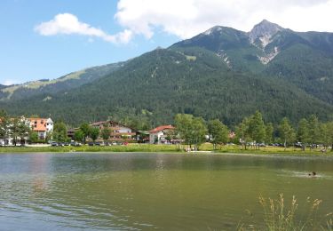
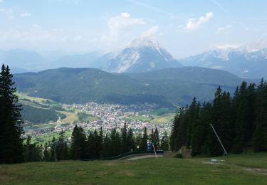
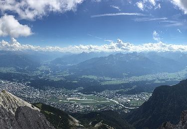
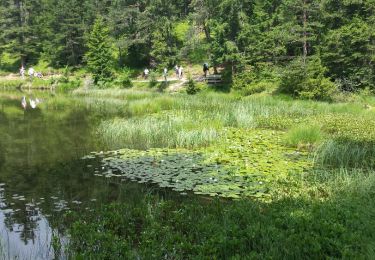
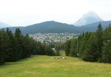
Trail Walking of 9.4 km to be discovered at Tyrol, Bezirk Innsbruck-Land, Gemeinde Seefeld in Tirol. This trail is proposed by VacheKiri67.
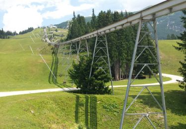
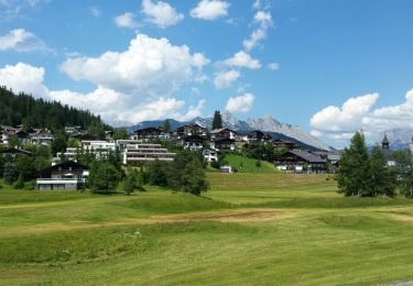
Faite le 30/07/2016 avec notre fils de 11 ans. Montée avec le funiculaire jusqu'à la Rosshütte puis le téléphérique jusqu'au Seefelder Joch. Parcours de crêtes, retour à la Rosshütte, descente à pied jusqu'à Seefeld.


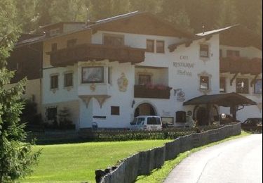
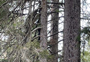
38 photos in total. Please click on a photo to see them all in the gallery.
Walking
Walking
Walking
Walking
On foot
Walking
Walking
Walking
Walking
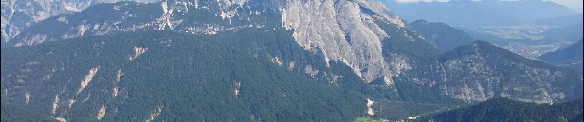
Le panorama à 360° de la Seefelder Spitze et des crêtes est magnifique !